- Created: August 28, 2012 10:32 am
- Updated: December 12, 2017 11:02 am
- Distance Instructions
- Distance 147 km
- Time 0 s
- Speed 0.0 km/h
- Min altitude 3 m
- Peak 263 m
- Climb 1287 m
- Descent 1271 m
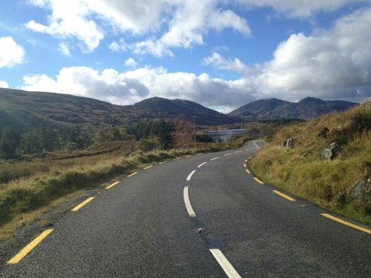
The second stage of the Ring of Kerry Cycle Route on quieter back roads is a demanding cycle route from Waterville to Killarney via Sneem and Kenmare. There is also the option to stay on the quieter back roads between Sneem and Molls Gap and avoid Kenmare Town.
Use our Map of Ireland and Sat Nav tool to get directions to the start point and our detailed maps and GPS on our ActiveME App to find and follow the route live on screen and keep on track.
Gallery
The second stage of the Ring of Kerry Cycle Route on quieter back roads is a demanding cycle route from Waterville to Killarney via Sneem and Kenmare. There is also the option to stay on the quieter back roads between Sneem and Molls Gap and avoid Kenmare Town.
Use our Map of Ireland and Sat Nav tool to get directions to the start point and our detailed maps and GPS on our ActiveME App to find and follow the route live on screen and keep on track.


