- Created: February 19, 2013 11:00 am
- Updated: December 12, 2017 10:59 am
- Distance Instructions
- Distance 21 km
- Time 0 s
- Speed 0.0 km/h
- Min altitude 358 m
- Peak 840 m
- Climb 748 m
- Descent 744 m
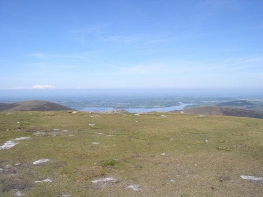
Mullaghcleevaun and Tonelagee Mountain Loop Walk is a strenuous but stunningly scenic 6 hour (16 km) walking route to Mullaghcleevaun (849m) and Tonelagee (817m) Mountains, Wicklows second and third highest mountains including a long ridge walk between the two and the Glanmacnass Waterfall. These are some of the best mountains in Ireland so enjoy them.
There are plenty of other routes to suit beginners to advanced so find a route that is right for you or your group. Plan your walk by checking your maps, the weather and sunrise sunset times on our website https://www.activeme.ie/useful-info/planning-a-trip/ and please remember you are only as fast as the slowest member of your group! Please be advised that during wet periods, some routes around Mullaghcleevaun can be extremely wet and mucky in places and it is advised to avoid these where possible (small detours).
Use our Map of Ireland and Sat Nav tool to get directions to the start point and our detailed maps and GPS on our ActiveME iPhone App and Android App to find and follow the walking route live on screen and keep on track. At all times, our maps and App should be used in conjunction with proper map and compass navigation techniques. Feel free to send us your photos and add you own star rating, comments or suggestions below.
Gallery
Mullaghcleevaun and Tonelagee Mountain Loop Walk is a strenuous but stunningly scenic 6 hour (16 km) walking route to Mullaghcleevaun (849m) and Tonelagee (817m) Mountains, Wicklows second and third highest mountains including a long ridge walk between the two and the Glanmacnass Waterfall. These are some of the best mountains in Ireland so enjoy them.
There are plenty of other routes to suit beginners to advanced so find a route that is right for you or your group. Plan your walk by checking your maps, the weather and sunrise sunset times on our website https://www.activeme.ie/useful-info/planning-a-trip/ and please remember you are only as fast as the slowest member of your group! Please be advised that during wet periods, some routes around Mullaghcleevaun can be extremely wet and mucky in places and it is advised to avoid these where possible (small detours).
Use our Map of Ireland and Sat Nav tool to get directions to the start point and our detailed maps and GPS on our ActiveME iPhone App and Android App to find and follow the walking route live on screen and keep on track. At all times, our maps and App should be used in conjunction with proper map and compass navigation techniques. Feel free to send us your photos and add you own star rating, comments or suggestions below.


