- Created: January 16, 2015 3:03 pm
- Updated: December 12, 2017 10:58 am
Categories:
Location: Cork
- Distance Instructions
Label
- Distance 10 km
- Time 0 s
- Speed 0.0 km/h
- Min altitude 69 m
- Peak 211 m
- Climb 175 m
- Descent 96 m
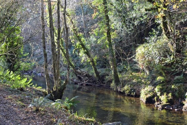
A lengthy 7.2km (2.5 hour) countryside walk in a beautiful natural environment. Start at Moyny Bridge and continue westwards to Glandarta Bridge. Along the way you will pass through Moyny wood, alongside the old Meenies famine village. You will enjoy the rolling farmlands of Bawnbue and Kealnine, view the old Leyton’s school house and take to the hills at Glanathnaw. Crossing over the top you will descend via a forest road with lovely views to join the Bantry road. All of this walk is on minor tarred roads.
You can download free of charge an MP3 audio file which contains a fifteen minute radio programme about the Glanatnaw walk, with local heritage, folklore and things to watch out for as you walk. www.westcorkwalking.com


