- Created: March 15, 2017 9:18 pm
- Updated: December 12, 2017 10:56 am
- Distance Instructions
- Distance 17 km
- Time 0 s
- Speed 0.0 km/h
- Min altitude 115 m
- Peak 894 m
- Climb 946 m
- Descent 945 m
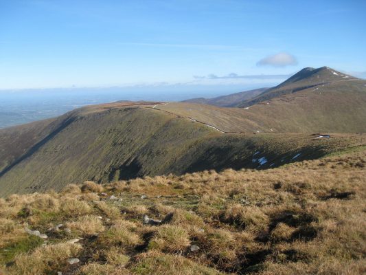
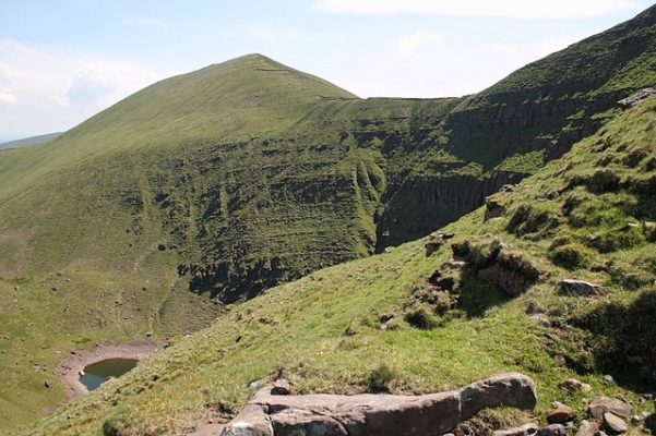
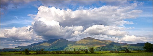
The GALTEE Mountain North Horseshoe Walk is a strenuous 13.5km (5.5 hr) loop walk to the popular and scenic peak of Galteemore Mountain (919m) located on the border between Tipperary and Limerick in an area known as the Munster Vales, it is the highest mountain in both counties and one of the best mountain walks in Ireland. The loop walking route takes in the mountains of Slievecushnabinnia (766m), Galtymore (919m), Galtybeg (799m) and Cush (639m) in that order, beginning with a lung busting 650m climb in only 4km. Take this scenic walking route with you on our free App for iPhone and Android and share your photos on the ActiveMe facebook page.
- Places to Stay Near the Galtees: coming soon
- Places for Food Near the Galtees: coming soon
- Places for Entertainment Nearby: coming soon
- Local Walking Guide or Tour Guide: coming Soon
- Other greats Things to See and Do in the Area: coming soon
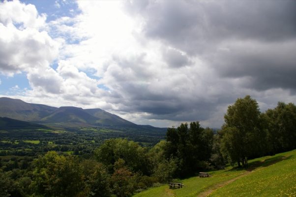
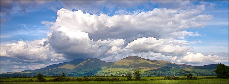 The walk starts from a small car park https://goo.gl/maps/HVKHbFW5Mj52 down a county lane in the scenic and peaceful Glen of Aherlow near the village of Lisvarrinane. Once an important route between Limerick and Tipperary in the distant past, the Glen of Aherlow is now a lush quiet country valley between the rising majestic Galtee Mountains to the south, the low wooded slopes of the Slievenamuck mountains to the north and the villages of Bansha and Galbally at either end.
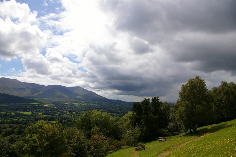
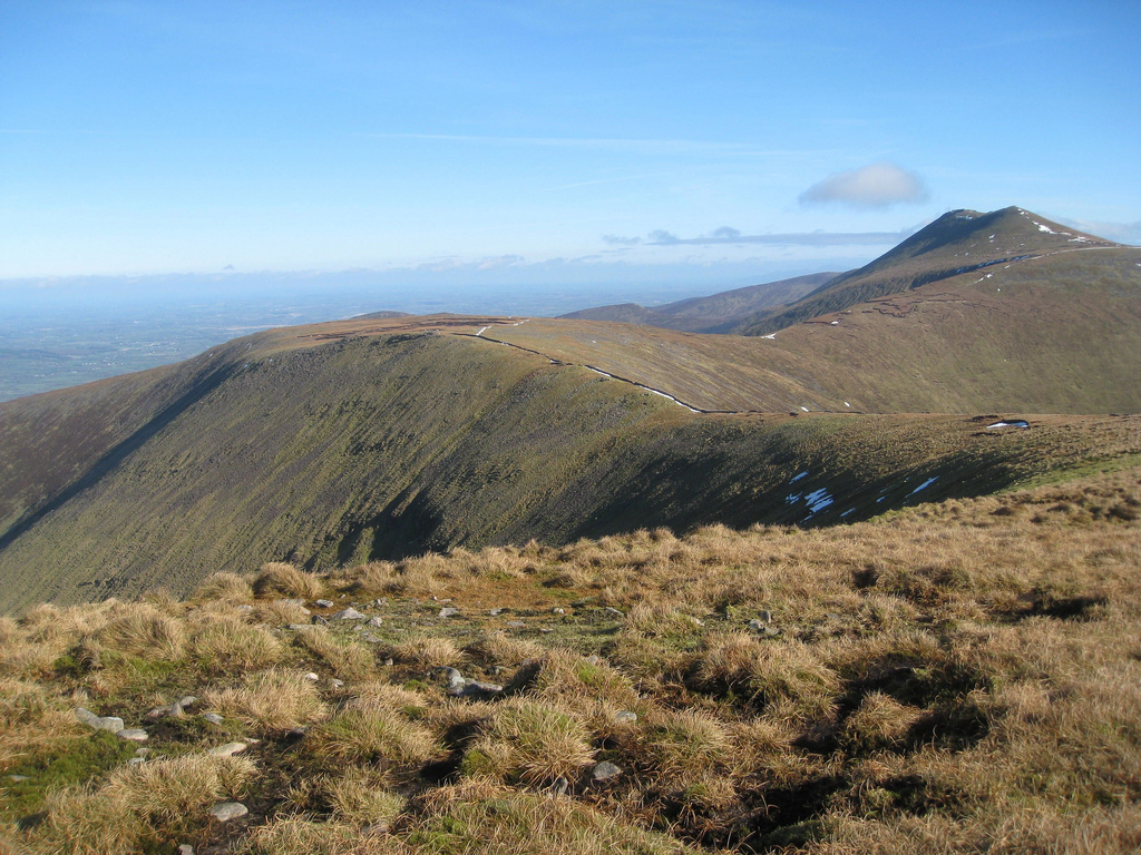
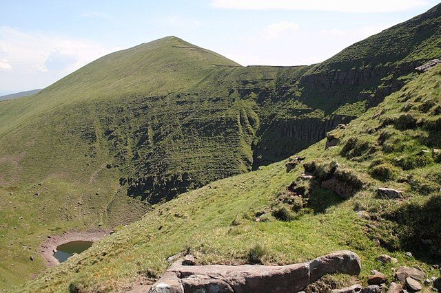
You should always plan any mountain adventure by checking the weather, sunrise sunset times and our hiking checklist www.activeme.ie/useful-info/planning-a-trip/. Please remember that you are only as fast as the slowest member of your group! If the weather is poor don't be afraid to cancel your walk and do some other walk, maybe a low level loop walk in the Glen of Aherlow. .
Use our Map of Ireland and Sat Nav tool to get directions to the start point and our detailed maps and GPS on our ActiveME iPhone App and Android App to find and follow the walking route live on screen and keep on track. At all times, our maps and App should only be used in conjunction with proper map and compass navigation techniques.
The GALTEE Mountain North Horseshoe Walk is a strenuous 13.5km (5.5 hr) loop walk to the popular and scenic peak of Galteemore Mountain (919m) located on the border between Tipperary and Limerick in an area known as the Munster Vales, it is the highest mountain in both counties and one of the best mountain walks in Ireland. The loop walking route takes in the mountains of Slievecushnabinnia (766m), Galtymore (919m), Galtybeg (799m) and Cush (639m) in that order, beginning with a lung busting 650m climb in only 4km. Take this scenic walking route with you on our free App for iPhone and Android and share your photos on the ActiveMe facebook page.
- Places to Stay Near the Galtees: coming soon
- Places for Food Near the Galtees: coming soon
- Places for Entertainment Nearby: coming soon
- Local Walking Guide or Tour Guide: coming Soon
- Other greats Things to See and Do in the Area: coming soon
 The walk starts from a small car park https://goo.gl/maps/HVKHbFW5Mj52 down a county lane in the scenic and peaceful Glen of Aherlow near the village of Lisvarrinane. Once an important route between Limerick and Tipperary in the distant past, the Glen of Aherlow is now a lush quiet country valley between the rising majestic Galtee Mountains to the south, the low wooded slopes of the Slievenamuck mountains to the north and the villages of Bansha and Galbally at either end.


You should always plan any mountain adventure by checking the weather, sunrise sunset times and our hiking checklist www.activeme.ie/useful-info/planning-a-trip/. Please remember that you are only as fast as the slowest member of your group! If the weather is poor don’t be afraid to cancel your walk and do some other walk, maybe a low level loop walk in the Glen of Aherlow. .
Use our Map of Ireland and Sat Nav tool to get directions to the start point and our detailed maps and GPS on our ActiveME iPhone App and Android App to find and follow the walking route live on screen and keep on track. At all times, our maps and App should only be used in conjunction with proper map and compass navigation techniques.

