- Created: August 28, 2012 10:33 am
- Updated: December 12, 2017 11:01 am
- Distance Instructions
- Distance 50 km
- Time 0 s
- Speed 0.0 km/h
- Min altitude 50 m
- Peak 124 m
- Climb 63 m
- Descent 104 m
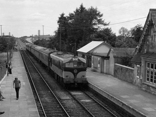
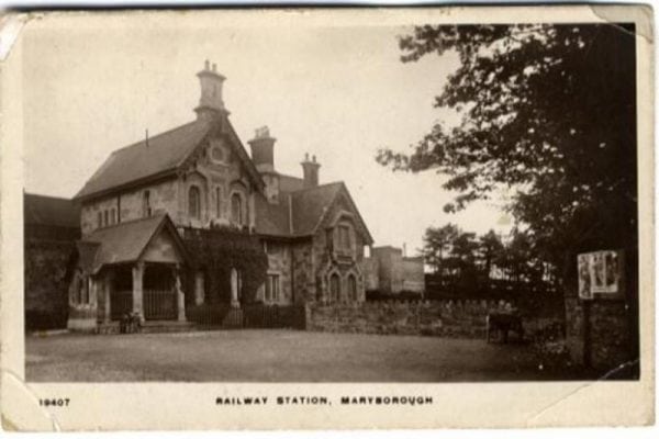
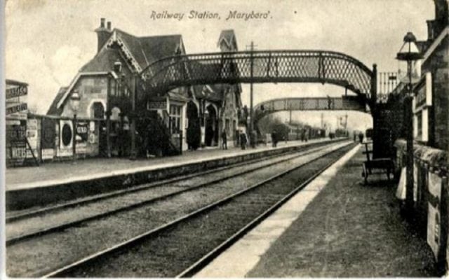
The Portlaoise (Maryborough) Railway Station became a Junction in 1867, when the Waterford & Kilkenny Railway extended its line northwards through Abbeyleix, following the route of the Kilkenny Junction Railway operated by the Great Southern & Western Railway architecture but closed in 1962. This section of dismantled railway may have the potential to be developed as a walking/cycle route.
Use our Map of Ireland and Sat Nav tool to get directions and our detailed maps and GPS on our ActiveME App to find rail line live on screen and keep on track. At all times, our maps and App should be used in conjunction proper map and compass navigation techniques.
Gallery
The Portlaoise (Maryborough) Railway Station became a Junction in 1867, when the Waterford & Kilkenny Railway extended its line northwards through Abbeyleix, following the route of the Kilkenny Junction Railway operated by the Great Southern & Western Railway architecture but closed in 1962. This section of dismantled railway may have the potential to be developed as a walking/cycle route.
Use our Map of Ireland and Sat Nav tool to get directions and our detailed maps and GPS on our ActiveME App to find rail line live on screen and keep on track. At all times, our maps and App should be used in conjunction proper map and compass navigation techniques.


