- Created: August 28, 2012 10:33 am
- Updated: December 12, 2017 11:01 am
- Distance Instructions
- Distance 27 km
- Time 0 s
- Speed 0.0 km/h
- Min altitude 53 m
- Peak 600 m
- Climb 662 m
- Descent 617 m
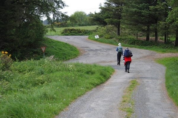
Avondhu Way - Stage 1 - Clogheen to Araglin is a 6 to 7 hour moderate walking route on roads and mountain sides following the valley of the River Blackwater, Co. Tipperary, Ireland. Use our Map of Ireland and Sat Sav tool to get directions to the start point and use our detailed map of the walking route and our App to follow the route and keep on track.
Gallery
Avondhu Way – Stage 1 – Clogheen to Araglin is a 6 to 7 hour moderate walking route on roads and mountain sides following the valley of the River Blackwater, Co. Tipperary, Ireland. Use our Map of Ireland and Sat Sav tool to get directions to the start point and use our detailed map of the walking route and our App to follow the route and keep on track.


