- Created: August 28, 2012 10:33 am
- Updated: December 12, 2017 11:01 am
Categories:
Location: Wicklow
- Distance Instructions
Label
- Distance 29 km
- Time 0 s
- Speed 0.0 km/h
- Min altitude 99 m
- Peak 629 m
- Climb 762 m
- Descent 702 m
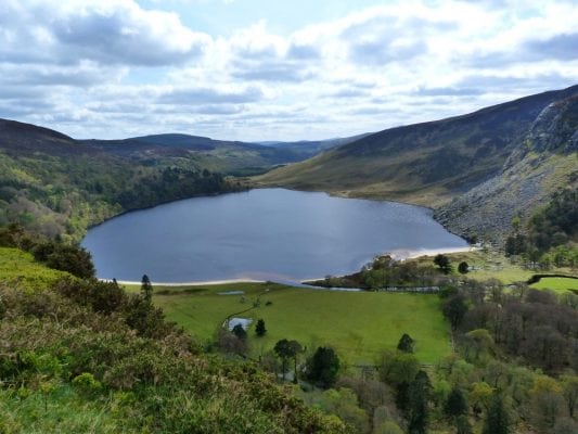
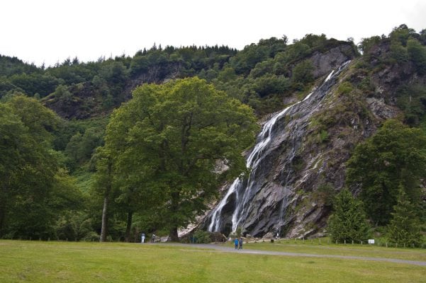
Stage 2 of the Wicklow Way from Knockree to Roundwood is a strenuous 6.5 hour walking route with a steady ascent untilyou have stunning views over Powerscourt Waterfall, Deer Park and Lough Tay. There is some road walking along this section of the Wicklow Way.


