- Created: August 28, 2012 10:32 am
- Updated: December 12, 2017 11:02 am
- Distance Instructions
- Distance 9 km
- Time 0 s
- Speed 0.0 km/h
- Min altitude 107 m
- Peak 621 m
- Climb 528 m
- Descent 532 m
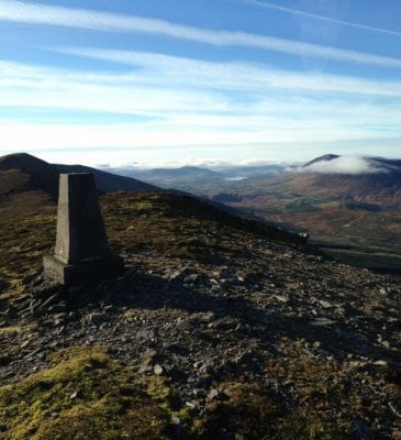
Drung Hill Mountain Loop Walk is a moderate to strenuous 3.5 hour (6.5 km) walking route to the summit of Drung Hill (640m) near Glenbeigh, County Kerry in the southwest of Ireland. The route follows an old pagan pilgrimage path to the summit with some of the best views along the Wild Atlantic Way great views.
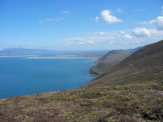
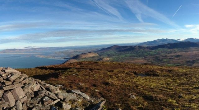
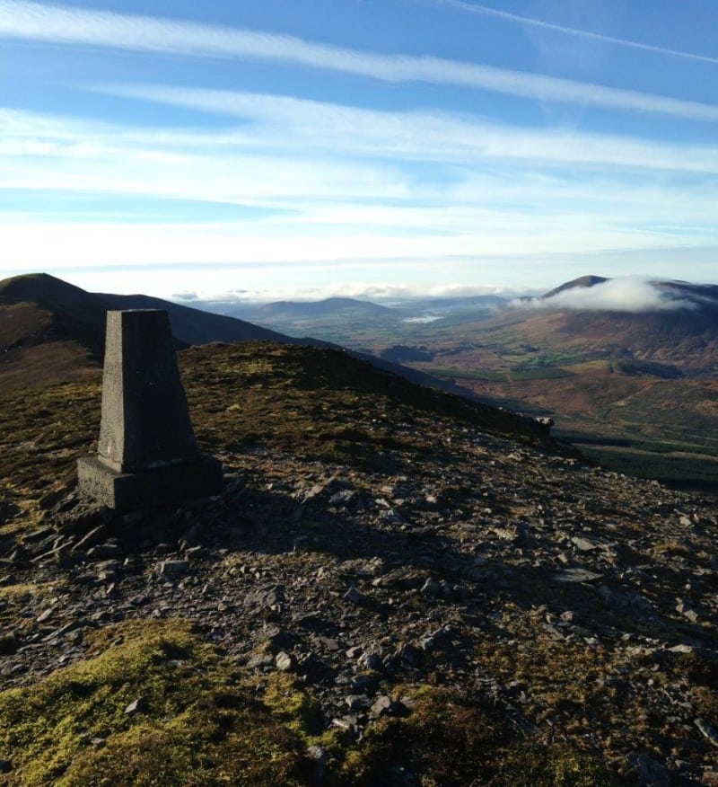
The 360 degree views from the summit are simply some of the best in Ireland, from the majestic MacGillycuddy's Reeks to the east, the mountains of the Coomasaharn Horseshoe to the south, Valentia Island and Knocknadobar to the west and the Dingle Peninsula, Inch and Rossbeigh beaches to the north.
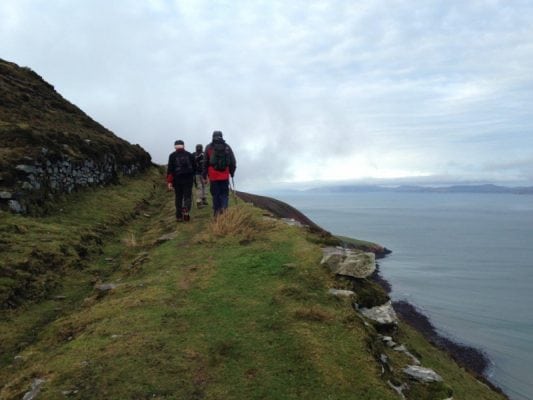
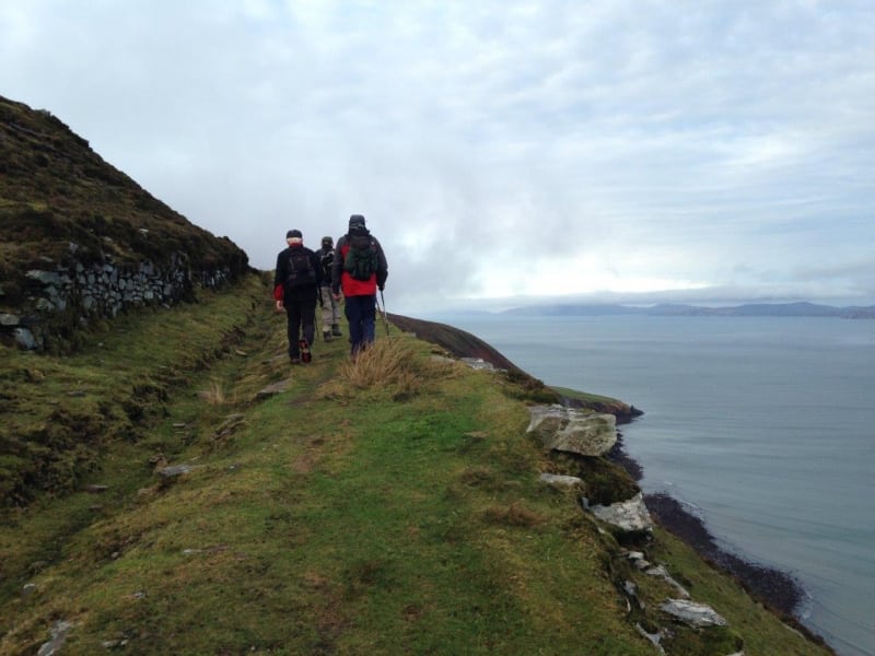
The first part of this walk is along an old Butter Road on the Kerry Way long distance waymarked walking trail. Long ago people from Kerry travelled this route on their way to Cork with horse and cart taking firkins of butter to the Cork Butter Market.
Use our Map of Ireland and Sat Nav tool to get directions to the start point and our detailed maps and GPS on our free ActiveME App to find and follow the walking route live on screen and keep on track. At all times, our maps and App should be used in conjunction with proper map and compass navigation techniques. Feel free to send us your photos and add you own star rating, comments or suggestions below.
Gallery
Drung Hill Mountain Loop Walk is a moderate to strenuous 3.5 hour (6.5 km) walking route to the summit of Drung Hill (640m) near Glenbeigh, County Kerry in the southwest of Ireland. The route follows an old pagan pilgrimage path to the summit with some of the best views along the Wild Atlantic Way great views.
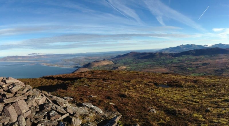
The 360 degree views from the summit are simply some of the best in Ireland, from the majestic MacGillycuddy’s Reeks to the east, the mountains of the Coomasaharn Horseshoe to the south, Valentia Island and Knocknadobar to the west and the Dingle Peninsula, Inch and Rossbeigh beaches to the north.
The first part of this walk is along an old Butter Road on the Kerry Way long distance waymarked walking trail. Long ago people from Kerry travelled this route on their way to Cork with horse and cart taking firkins of butter to the Cork Butter Market.
Use our Map of Ireland and Sat Nav tool to get directions to the start point and our detailed maps and GPS on our free ActiveME App to find and follow the walking route live on screen and keep on track. At all times, our maps and App should be used in conjunction with proper map and compass navigation techniques. Feel free to send us your photos and add you own star rating, comments or suggestions below.

