- Created: August 28, 2012 11:32 am
- Updated: December 12, 2017 11:02 am
- Distance Instructions
- Distance 153 km
- Time 0 s
- Speed 0.0 km/h
- Min altitude 2 m
- Peak 404 m
- Climb 1340 m
- Descent 1334 m
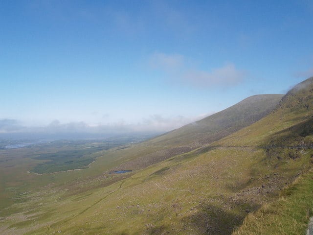
This demanding figure of 8 loop is one of the most spectacular cycle route in Ireland taking in the entire Dingle peninsula with 2 separate loops starting and ending in Dingle or maybe even Tralee. There are breathtaking views along the Slay Head coastline, a tough but rewarding climb to Conner Pass and plenty of things to see and do along the way.
Use our Map of Ireland and Sat Nav tool to get directions here and our detailed maps and GPS on our ActiveME iPhone and Android App to follow the route. Feel free to send us your photos and add you own star rating, comments or suggestions below
Gallery
This demanding figure of 8 loop is one of the most spectacular cycle route in Ireland taking in the entire Dingle peninsula with 2 separate loops starting and ending in Dingle or maybe even Tralee. There are breathtaking views along the Slay Head coastline, a tough but rewarding climb to Conner Pass and plenty of things to see and do along the way.

Use our Map of Ireland and Sat Nav tool to get directions here and our detailed maps and GPS on our ActiveME iPhone and Android App to follow the route. Feel free to send us your photos and add you own star rating, comments or suggestions below


