- Created: January 21, 2013 3:29 pm
- Updated: December 12, 2017 11:00 am
- Distance Instructions
- Distance 52 km
- Time 0 s
- Speed 0.0 km/h
- Min altitude 4 m
- Peak 425 m
- Climb 1221 m
- Descent 1217 m
The Táin Way (Sli Na Tana) is a long distance walking route in County Louth within Ireland's Ancient East. Steeped in Irish Mythology and Folklore, it is a 40km long National Waymarked Trails which officially begins and ends in Carlingford but you can join the trail at any number of points along its length. Many start the route at Black Mountain where it meets the Ulster Way but others start in Carlingford. It is often completed as a side loop off the Ulster Way Walking Route.
The Táin Way follows a short section of the entire march made by Queen Meave in one of Ireland's most famous sagas, the Táin Bo Cuailgne (The Cattle Raid of Cooley). The storey goes that Queen Maeve of Connaught sat down with her husband Ailill to compare their possessions and found that they were equal with one exception, Ailill owned a white bull called Finnbenach, of which Maeve had no equal. There was one bull in the whole of Ireland equal to Finnbenach, The Brown Bull of Cooley, and Maeve had to have it. She set off from her palace in Rathcroghan in Co. Roscommon, a few miles from Tulsk, and marched on Cooley, thus giving rise to the Táin Way. The only thing standing in her way was Cuchulainn, the greatest of Irish Celtic heroes who defends the Brown Bull and the ancient province of Ulster.
The Táin March is now a celebrated Festival taking place in June along the entire march route from Ardee to Carlingford. See the website for details www.tainmarch.net.
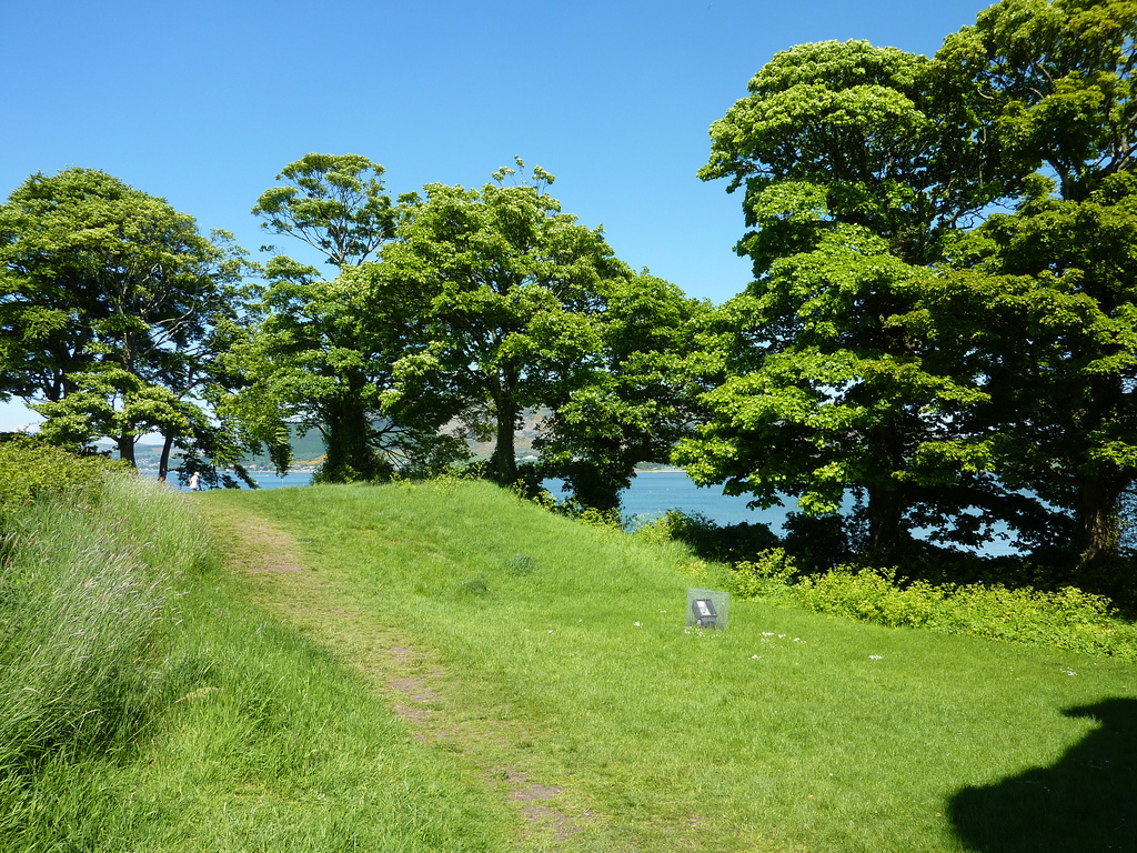
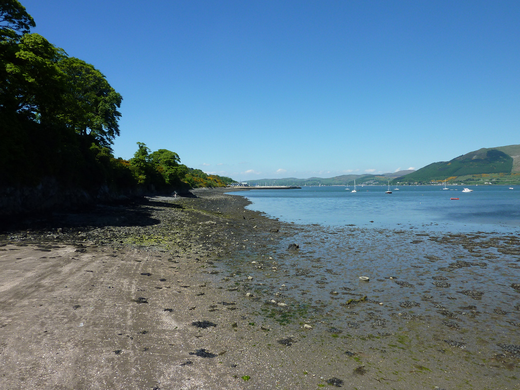
The Tain Way takes in the majority of the peninsula with a great mix of coastal, woodland and upland walking and some great scenery.
Typically the entire route is broken down into 2 stages of approximately 20km each day but you can equally complete the walk in one very long day or 4 days of 10km each. We have broken the route into these smaller stages to allow everyone irrespective of fitness or time available to experience a great and varied walk. As well as the OSI Discovery Series Sheet 36, EastWest Mapping also produce The Táin Way Map Guide.
Nearby Accommodation:
- Coming Soon
Nearby Restaurants, Pubs, Cafes and more:
- Coming Soon
Use our Map of Ireland and Sat Nav tool to get directions to the start point and our detailed maps and GPS on our ActiveME iPhone App and Android App to find and follow the walking route live on screen and keep on track. At all times, our maps and App should be used in conjunction with proper map and compass navigation techniques. Feel free to send us your photos and add you own star rating, comments or suggestions below.
The Táin Way (Sli Na Tana) is a long distance walking route in County Louth within Ireland’s Ancient East. Steeped in Irish Mythology and Folklore, it is a 40km long National Waymarked Trails which officially begins and ends in Carlingford but you can join the trail at any number of points along its length. Many start the route at Black Mountain where it meets the Ulster Way but others start in Carlingford. It is often completed as a side loop off the Ulster Way Walking Route.

The Táin Way follows a short section of the entire march made by Queen Meave in one of Ireland’s most famous sagas, the Táin Bo Cuailgne (The Cattle Raid of Cooley). The storey goes that Queen Maeve of Connaught sat down with her husband Ailill to compare their possessions and found that they were equal with one exception, Ailill owned a white bull called Finnbenach, of which Maeve had no equal. There was one bull in the whole of Ireland equal to Finnbenach, The Brown Bull of Cooley, and Maeve had to have it. She set off from her palace in Rathcroghan in Co. Roscommon, a few miles from Tulsk, and marched on Cooley, thus giving rise to the Táin Way. The only thing standing in her way was Cuchulainn, the greatest of Irish Celtic heroes who defends the Brown Bull and the ancient province of Ulster.

The Táin March is now a celebrated Festival taking place in June along the entire march route from Ardee to Carlingford. See the website for details www.tainmarch.net.
The Tain Way takes in the majority of the peninsula with a great mix of coastal, woodland and upland walking and some great scenery.
Typically the entire route is broken down into 2 stages of approximately 20km each day but you can equally complete the walk in one very long day or 4 days of 10km each. We have broken the route into these smaller stages to allow everyone irrespective of fitness or time available to experience a great and varied walk. As well as the OSI Discovery Series Sheet 36, EastWest Mapping also produce The Táin Way Map Guide.
Nearby Accommodation:
- Coming Soon
Nearby Restaurants, Pubs, Cafes and more:
- Coming Soon
Use our Map of Ireland and Sat Nav tool to get directions to the start point and our detailed maps and GPS on our ActiveME iPhone App and Android App to find and follow the walking route live on screen and keep on track. At all times, our maps and App should be used in conjunction with proper map and compass navigation techniques. Feel free to send us your photos and add you own star rating, comments or suggestions below.


